Wildfire
Impact Modeling:
Assessing
Threat, Economic Exposure and Return on
Investment for Mitigation Planning
David Buckley1
Sanborn Map Company, Colorado Springs, Colorado
Email: DBuckley@sanborn.com;
Website www.sanborn.com
Jason Batchelor2
County of San Diego, Dept. of Planning and Land Use
Email: Jason.Batchelor@sdcounty.ca.gov,
Website www.sdcounty.ca.gov/dplu
Joseph K, Berry3
W. M. Keck Visiting Scholar in
Geosciences, Geography,
Principal, Berry & Associates
// Spatial Information Systems (BASIS),
Email: jberry@innovativegis.com; Website: www.innovativegis.com
Paper presented at GeoTec,
June 1-4, 2009, Vancouver, British Columbia, Canada
This
presentation is supported by a feature article entitled “Mapping
a Firewall: Modeling and Visualizations Assess Wildfire Threats,
Risks and
Economic Exposure” for
GeoWorld, October 2009, Vol. 22, No. 10, pgs. 20-23.
<click
here> to download the PowerPoint slide set used in the
presentation>
Abstract
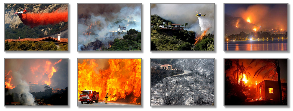
Wildfires are a growing problem across the Nation as climate change extends our fire seasons. Coupled with a historical policy of aggressively fighting fires this has resulted in a buildup of volatile vegetation and fuels. In addition, the consequence of wildfires has never been greater as the trend continues of people moving into the wildland. The Wildland Urban Interface (WUI) is the combat zone for wildfires – with significant potential social, economic and environmental impacts. With urban growth and expansion into wildland areas there has been a significant increase in risk to people and their homes.
Fire professionals in all agencies are challenged with how we can reduce the risk to wildfire in the WUI, while responsibly allocating budgets to high priority areas for preparedness planning and response and suppression. It is clear that there is an increasing need for fuel treatments, mitigation planning, and prevention to reduce the risk to communities in the WUI.
To date, the lack of consistent, accurate information limits the success of preparedness planning. There is a general lack of reliable information to support decision making – including mitigation planning, prevention and response and suppression. Fire planners are challenged with quantifying the risk to communities and prioritizing mitigation efforts to best protect people and their homes. In addition, with the current economic situation, there is an increasing demand to document accomplishments and performance measures – what is the effect of our mitigation efforts, and are we spending our budgets efficiently?
This presentation focuses on
the utility of geotechnology and map analysis procedures in the assessment and
planning process, not only for identifying areas of greatest risk, but also
quantifying the dollar impact of wildfire and proposed mitigation efforts. This
includes development of three distinct modeling phases: 1) Wildfire Threat defining the probability of a wildfire based on the
integration of historical weather and occurrence data with fire behavior
models, 2) Economic Exposure
identifying estimated loss by integrating threat with economic data, and 3) Return on Investment for evaluating
different mitigation alternatives. The assessment methodologies can be applied
at both strategic and tactical scales.
These tools not only provide the basis for more informed decision
making, but they also provide a consistent basis for funding allocation. The paper describes results and lessons
learned in applying these wildfire modeling approaches in San Diego County, CA.